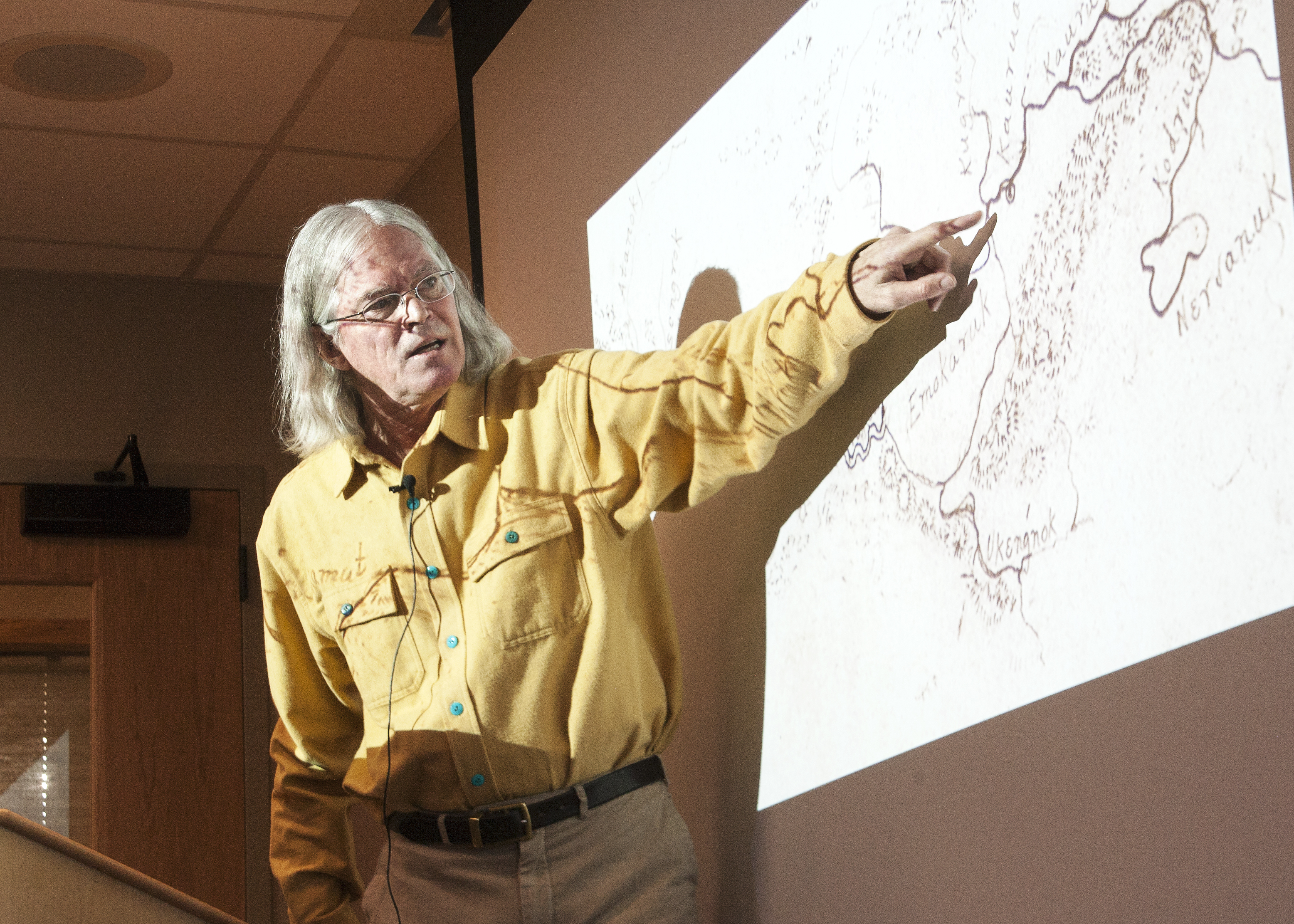
Six different historic maps by Alaska Natives inspired one independent historian to look into the significance of Alaska’s pre-statehood cartography.
During a project that began in 2007, John Cloud scanned historical maps and charts of NOAA predecessor, the Coast and Geodetic Survey.
“I’ve just been trying to trace the history of the people who made the maps and the stories of the maps they made … and so it turned into all the stuff with collections all over the country literally from one end of the country to the other.” (Read more here.)

 RSS Feed